Traditionally, agricultural land management and tracking were done manually, which was tedious, time-consuming, and resource-intensive. These systems presented major hurdles, particularly when covering broad areas with high geographic variability or managing an expanding number of data indications.
To tackle these limitations, new approaches and technologies have been developed that collect real-time data while reducing biases caused by humans, especially in remote or difficult to reach areas.
Navigation systems, remote sensing, geospatial applications, services, and digital technologies are increasingly being developed and used to collect massive amounts of data from both airborne (such as unmanned aerial vehicles) and spaceborne channels, transforming agricultural land tracking and management.
These advancements enable more efficient, precise, and near-real-time data collection, allowing farmers to make informed decisions that utilize contextual and geographically relevant information.
Why Should You Consider Satellite Data for Farming?
Satellite data, when combined with GIS tools and real-time information, provides you immense agricultural monitoring capabilities. This technology enables you to identify problem areas, such as zones with low yields or moisture stress, and take appropriate action.
Furthermore, space technology offers the advantage of rapidly covering large areas of agricultural land, minimizing the need for physical effort and saving time and resources.
Recent advances in satellite technology, particularly in Earth observation satellites, have increased the availability and variety of data sets. These satellites, which include sensors with varying geographical, temporal, and spectral resolutions, can handle unique agricultural needs and issues.
Appropriate positioning data from navigation satellites also aids in operations like precision agriculture, increasing production and efficiency.
How Can Remote Sensing Boost Your Agricultural Productivity?
Remote sensing has several practical applications in agriculture that can take your farming to the next level. Optical Earth observation satellites, for example, are commonly employed for agricultural damage assessment due to their ease of use and availability.
Synthetic aperture radar (SAR) data from Earth Introduction Observation satellites can pierce cloud cover and are particularly valuable for monitoring pre- or post-disaster scenarios such as agricultural flooding.
In addition, SAR data can be integrated with optical imaging to improve crop type mapping. Earth observation satellites with higher spatial resolution, known as very high resolution (VHR) satellites, have significantly improved the detailed and accurate mapping of agricultural areas through fine-scale crop type mapping, moving from moderate resolution imagery to less than one metre.
Recent advances in spaceborne sensors have proven to be essential, particularly in precision agriculture, where high spectral resolution is critical for vegetation categorization and resource management in farmlands.
How Can GNSS Technology Help You Improve Precision and Automate Your Farm?
Accurate position data from GNSS satellites can also help agricultural operations. Precise positioning data can be utilized to improve farming practices, including the utilization of automated gear like self-driving tractors. This technique enables you to enhance yields while lowering operating costs.
Precision agriculture management systems rely heavily on the integration of Earth observation and GNSS data. Several countries have already embraced the PAMS idea, which involves the integration of Earth observation data, GNSS data, and other geographic information.
Furthermore, satellite, aerial, and ground data integration in applications for agriculture has been shown to be effective in particularly addressing food poverty, particularly in the most vulnerable countries. A satellite, aerial, and ground integration (SAGI) system would address national food security challenges by integrating varied data sets from multiple platforms and scales.
The potential of space-based technologies for agriculture and sustainable development is recognized as one of the four objectives of the “Space2030” Agenda,18 a forward-thinking strategy for reaffirming and strengthening the contribution of space activities and space tools to the achievement of global goals.
It responds to humanity’s long-term sustainable development concerns, which call for the space sector to maximize its role as a significant driver in sustainable development, including agriculture and food security, by enhancing the contributions of space technology and applications, as well as the integration of satellite, aerial, and ground data, particularly in vulnerable regions.
Information from satellite imagery, unmanned aerial vehicles (UAVs) and ground-based sensors provides a wealth of insights that can be harnessed for optimizing farming practices, ensuring resource efficiency and promoting sustainable agricultural development.
How is FSPN Africa Using Space Technology to Support Farmers?
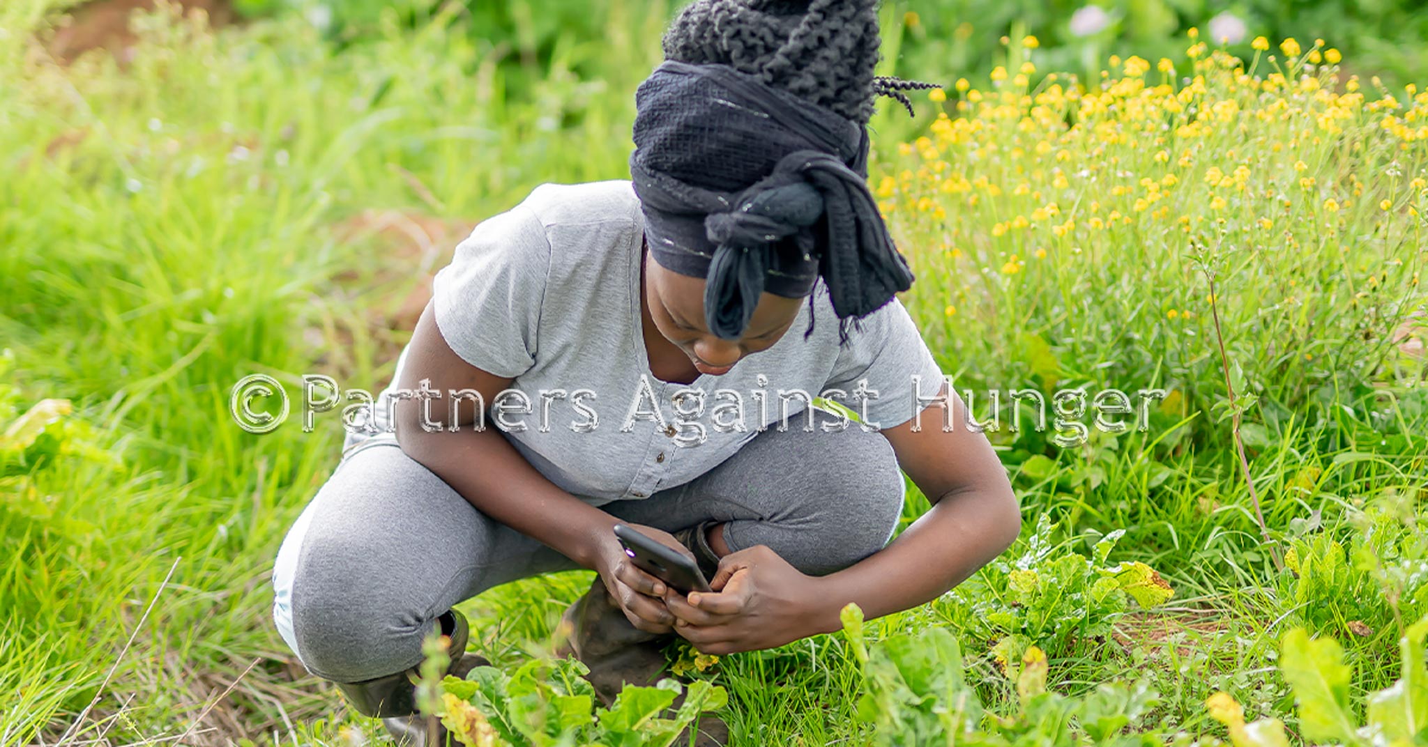
Remote-sensing technologies have become indispensable tools for collecting vast amounts of data across agricultural landscapes. FSPN Africa is not left behind. We are integrating such technologies to ensure the farmers’ community we serve and consumers reap the aforementioned benefits of technology.
For instance, satellites equipped with high-resolution sensors capture detailed imagery, enabling the monitoring of crop health, soil conditions and environmental factors. This improves advisory services to the farmers and can make timely decisions to mitigate crop challenges. UAVs equipped with specialized sensors capture real-time data at a localized level therefore updating you as a farmer real time and contributing to big data processing.
We also continue to offer farmers with ground-based sensors that provide valuable information on soil moisture levels, nutrient content and carbon storage information that are vital for improving productivity and climate resilience. The fusion of data from these diverse sources creates a holistic understanding of the agricultural ecosystem, forming the basis for data-driven decision-making.
References:
EOSDA. 2022. EOS SAT Satellite Constellation to Serve Agricultural Needs, cited 14 December 2023
Boryan, C.G., Yang, Z., Sandborn, A., Willis, P. and Haack, B. 2018. Operational Agricultural Flood Monitoring with Sentinel-1 Synthetic Aperture Radar. In: IGARSS 2018 – 2018 IEEE International Geoscience and Remote-sensing Symposium. IGARSS 2018 – 2018 IEEE International Geoscience and Remote-sensing Symposium, Valencia, IEEE, July 2018
Fontanelli, G., Crema, A., Azar, R., Stroppiana, D., Villa, P. and Boschetti, M. 2014. Agricultural crop mapping using optical and SAR multi-temporal seasonal data: A case study in Lombardy region, Italy. In: 2014 IEEE Geoscience and Remote-sensing Symposium. IGARSS 2014 – 2014 IEEE International Geoscience and Remote-sensing Symposium, Quebec City, QC, IEEE, July 2014.
Bhanumathi, V. and Kalaivanan, K. 2019. “The Role of Geospatial Technology with IoT for Precision Agriculture.” In Cloud Computing for Geospatial Big Data Analytics, Springer Nature Switzerland.
Kahveci, M. 2017. Contribution of GNSS in precision agriculture. In: 2017 8th International Conference on Recent Advances in Space Technologies (RAST). 2017 8th International Conference on Recent Advances in Space Technologies (RAST), Istanbul, Turkey, IEEE, June 2017
Shi, Y., Ji, S., Shao, X., Tang, H., Wu, W., Yang, P., Zhang, Y. and Ryosuke, S. 2014. “Framework of SAGI Agriculture Remote Sensing and its Perspectives in Supporting National Food Security.” Journal of Integrative Agriculture, 13(7): 1443–1450
For more information, contact info@fspnafrica.org


